This post is also available in:
![]() Français
Français ![]() Deutsch
Deutsch ![]() Italiano
Italiano ![]() Español
Español ![]() Nederlands
Nederlands ![]() Indonesia
Indonesia ![]() polski
polski ![]() Português
Português

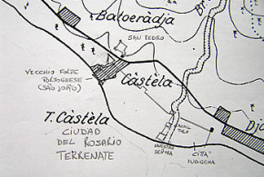
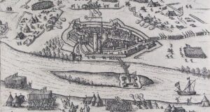
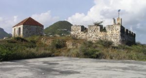
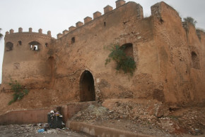
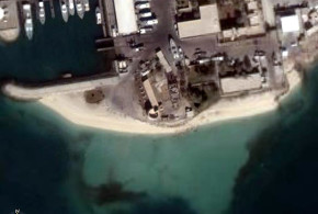
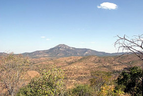
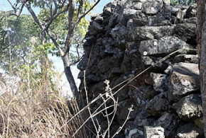
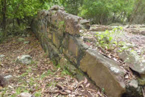
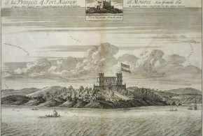
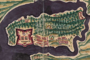
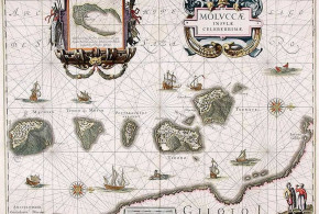
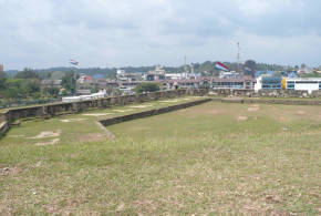
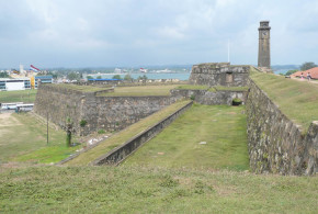
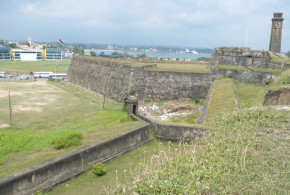
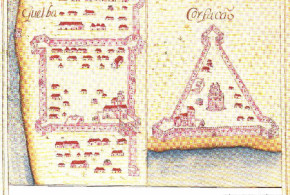
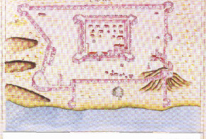
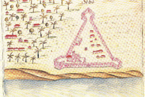
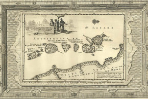
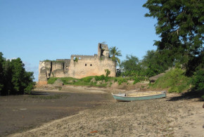
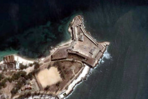
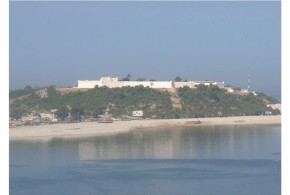
The shape of one of the bastions of the walled city of Ternate is clearly visible in a detailed Dutch map of 1916, it could be the bulwark on the west land side, probably named by the Spaniards San Juan. (“Schetskaart van de eilanden Ternate en Hiri” Schaal: 1:20.000 Topographische inrichting in Nederlandsch-Indië , 1916)
This post is also available in:
![]() Français
Français ![]() Deutsch
Deutsch ![]() Italiano
Italiano ![]() Español
Español ![]() Nederlands
Nederlands ![]() Indonesia
Indonesia ![]() polski
polski ![]() Português
Português